1 - 25 of 25
Number of results to display per page
TitleDateType
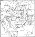
1 Map showing boundaries of Northern Paiute, Southern Paiute, Shoshone Bannock and UteImage/StillImage
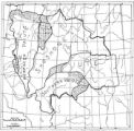
2 Map showing the boundary of the Shoshone Indian territory1941Image/StillImage
3 Map of Indian Reservations in the Western United StatesImage/StillImage
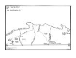
4 The Paiute StripImage/StillImage
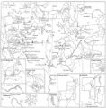
5 Southern Paiute BandsImage/StillImage
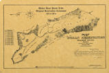
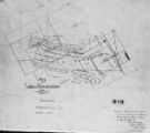
6 Map of Walker River Paiute Tribe Original Reservation Centennial 1874-19741874Image/StillImage
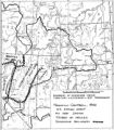
7 Boundary of Shoshone Indian Territory and Neighboring Tribes1957Image/StillImage
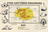
8 Map titled, "Utes and Their Neighbors"Image/StillImage
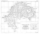
9 Pahute Indian Home Lands in 18501850Image/StillImage
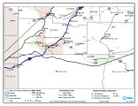
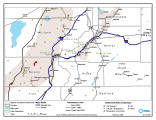
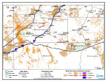
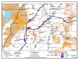
10 Paiute Reservation Geothermal Resources Map2004-01-14Image/StillImage
11 Paiute Reservation Goethermal Resources Map2004-01-14Image/StillImage
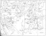
12 Map of Western Shoshone and Northern Paiute TerritoryImage/StillImage
13 Map of Western Indian Territory Before 1850Image/StillImage
14 Exploration of the Valley of the Great Salt Lake1936Image/StillImage
15 Map of Reservations of the Western United States and the Religions that Worked on the Reservations 1870's1873Image/StillImage
16 Basis of American history, 1500-1900, by Livingston FarrandImage/StillImage
17 Map of Indian Tribes of North AmericaImage/StillImage
18 Map of North America and Original Inhabitants' Territory.Image/StillImage
19 Map of Indian Land Cessions in the United StatesImage/StillImage
20 Map of Indian Reservation. 1884Image/StillImage
21 Pauite Reservation Wind Resource Map2004-01-14Image/StillImage
22 Pauite Reservation Wind Resource Map2004-01-14Image/StillImage
23 Map of Shoshone Indian Territory, and the Division of Shoshone Boundaries in NevadaImage/StillImage
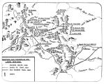
24 Trappers and Traders in Ute Lands 1820-1844Image/StillImage
25 Map of Indian Territory in the Western United StatesImage/StillImage
1 - 25 of 25